SAKA
< Projeler Sayfası
Proje Adı
Dağıtık Sualtı Sensörler ile Coğrafi Konum Belirleme Projesi
Şirket Adı
Aselsan
Şirket Mentoru
Isın Akyıldız
Akademik Mentor
Doç. Dr. Sinan Gezici
Asistan
Necip Gürler
Takım Üyeleri
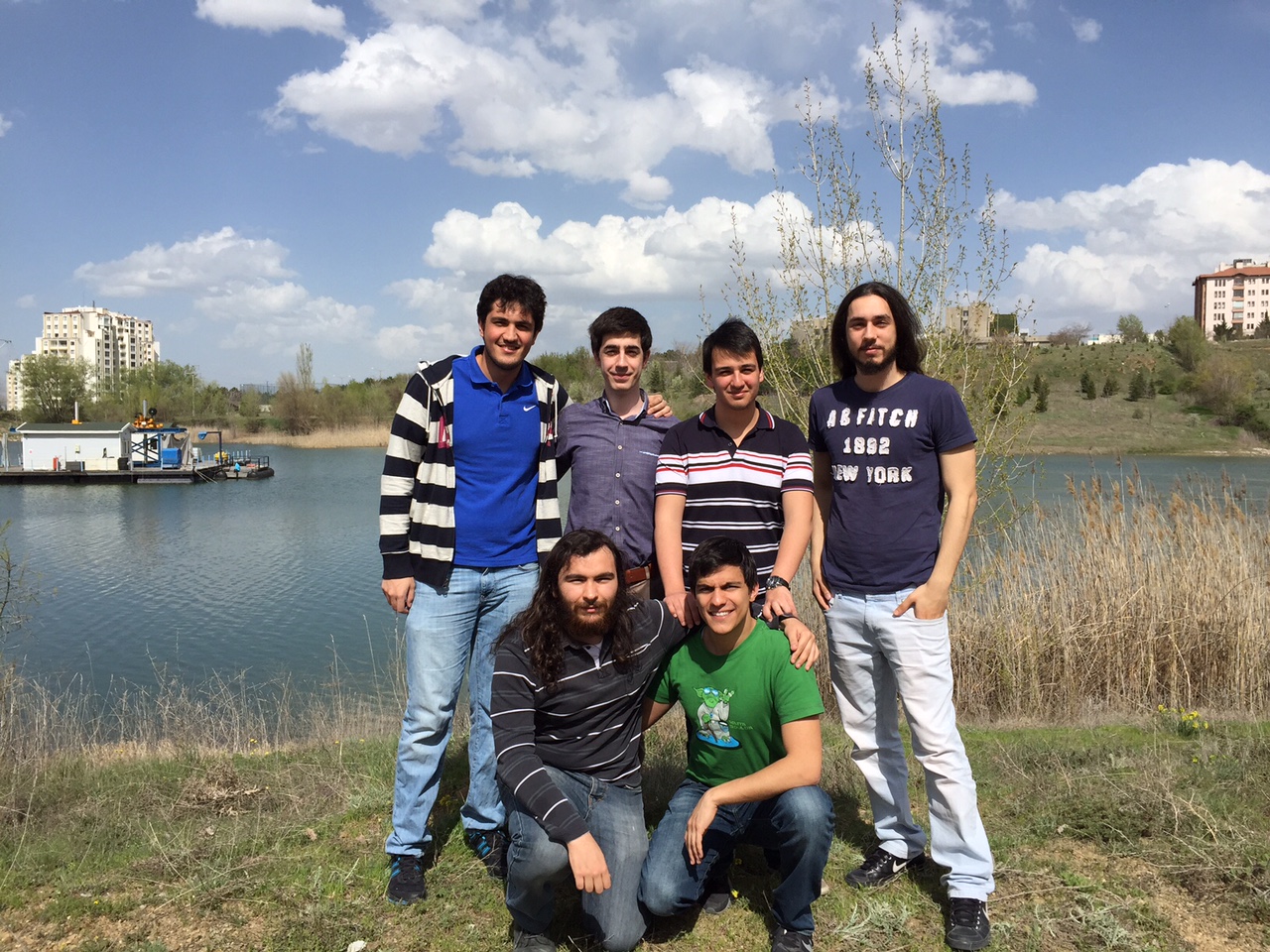
Uğur Acer, Umut Demirhan, Can Kanbak, Kaan Gökçesu, Ali Eralp Kolağasıoğlu, Canberk Kısa

Summary
Within the scope of this project, a positioning system that is supposed to detect the geographical location of an autonomous vehicle and/or a diver by using acoustic sensors is to be designed and developed. The purpose of the project is to eliminate insufficiency of the most commonly used positioning system’s underwater detection in terms of synchronicity, since our system will be able to work asynchronously as opposed to the previous systems. The advantage of this system in comparison with other commonly used underwater systems is the integration of GPS data and underwater positioning system; which sports the underwater environment with already existing, reliable ground level positioning systems. Mainly, the system will be consisting of four buoys, which have their own GPS module and hydrophone, and a command center. The target to be tracked will transmit a signal every second. Each buoy will calculate the time of arrival of the signal to them and combine it with the GPS data. The communication between the buoys and the command center will be provided through an RF module. There, the data collected on the command center will be used to determine the position of the vehicle or diver with the help of localization algorithms developed using the time difference of arrival(TDoA) between the buoys, calculated using each ToA. Currently, our simulations show that we can find our target with lower than 5 m error in an area of 2500 m2.


