ImNav
< Projeler Sayfası
Proje Adı
Görüntü Tabanlı İHA Navigasyonu
Şirket Adı
ArdicLabs
Şirket Mentoru
Dr. Bekir Şen - Dr. Burak Kaygısız
Akademik Mentor
Assoc. Prof. Emine Ülkü Sarıtaş
Asistan
Sadık Yağız Yetim
Takım Üyeleri
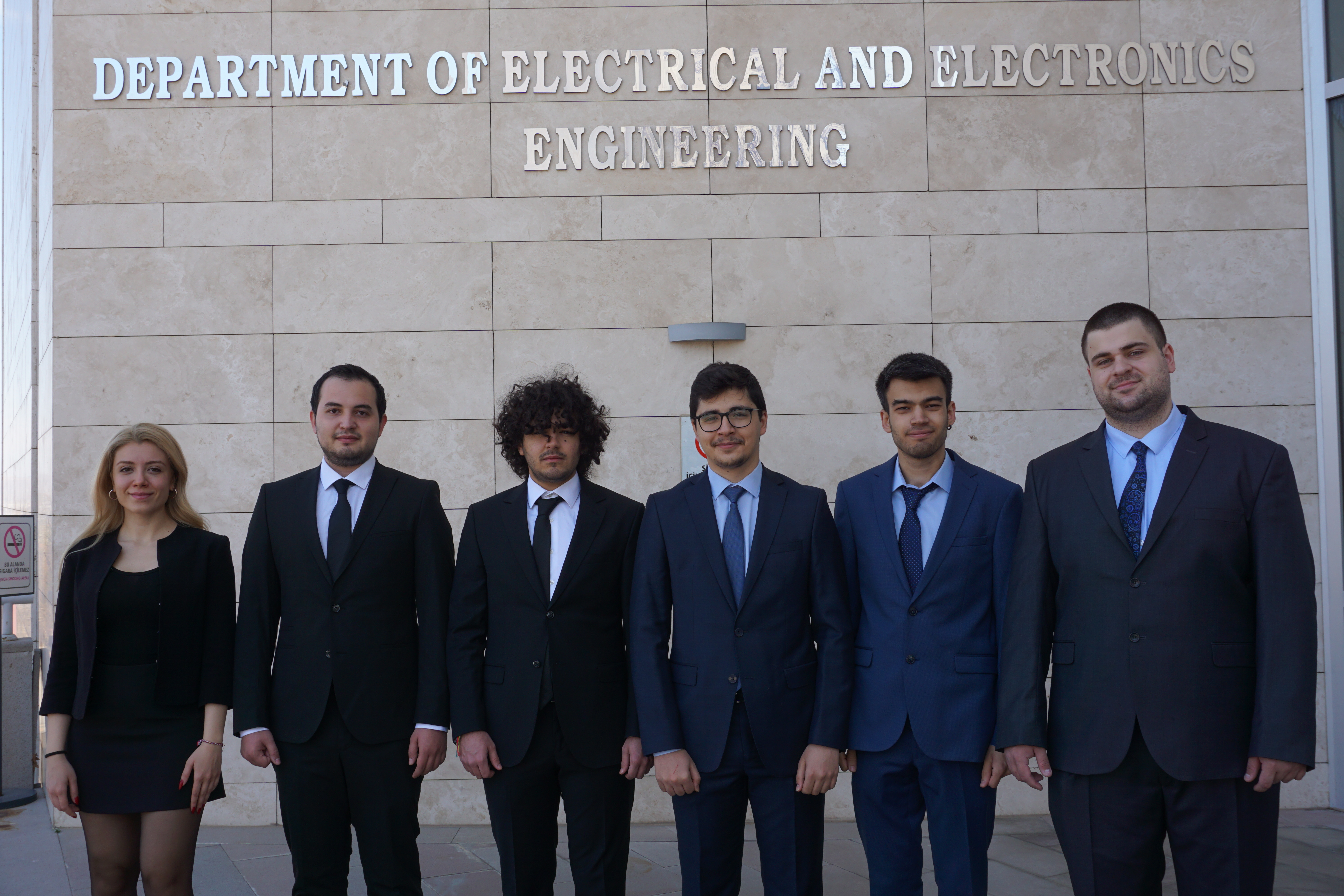
Emrecan Kutay,
Ahmet Erdem Terzi,
Aral Salehyan,
Berkay Taşkın,
Özmen Erkin Kökten,
İpek Tüfekcioğlu

Özet
Bu projede, uzun süreli GPS kesintilerinde İHA lokalizasyonu için kamera kullanan bir
navigasyon sistemi tasarlanacaktır. Sistem, hazır olarak kullanılacak Ataletsel Navigasyon
Sisteminden yönelim ve yükseklik verisini alacak, görsel odometre tekniklerini ve coğrafi
referanslı görüntüleri kullanacaktır. Sistem, kameradan aldığı görüntüler ile aynı anda hem
görsel odometre çalıştıracak hem de coğrafi referanslı görüntüleri eşleştirecektir. Daha sonra
bu iki teknikle bulduğu hız ve konum verilerini bir filtre ile birleştirerek İHA’nın konumunu
ve konum üzerindeki belirsizliği hesaplayacaktır. Görüntü tabanlı navigasyon sistemi, İHA
otonom navigasyonu için yüksek doğrulukta konum tahmini sağlayacaktır.
Abstract
Long-duration GPS shortages lead to confusion about the location of UAVs. Navigation
systems based on geo-referenced information can be an option to find the location of the
UAVs in case of any GPS shortage. So, the velocity, orientation, and location of the UAV are
the main concerns to be estimated. There are two main techniques to actualize those tasks:
visual odometry and Image matching. Visual odometry is a technique to find the orientation
and the velocity of the UAV. In order to find the coordinate, image matching, using the
gradient magnitudes and directions, can be applied. By fusing that information, highly
accurate results may be obtained. During the fusion stage, the Kalman filter is one of the most
popular filters that can be implemented to track location using inputs location obtained from
image matching and velocity obtained from visual odometry.

