A2
< Projeler Sayfası
Proje Adı
Uydu Görüntülerine Göre Gemilerin Tespiti
Şirket Adı
Plan-S
Şirket Mentoru
Dr. Seçkin Özsaraç
Akademik Mentor
Asst. Prof. Aykut Koç
Asistan
Mehmet Efe Lorasdağı
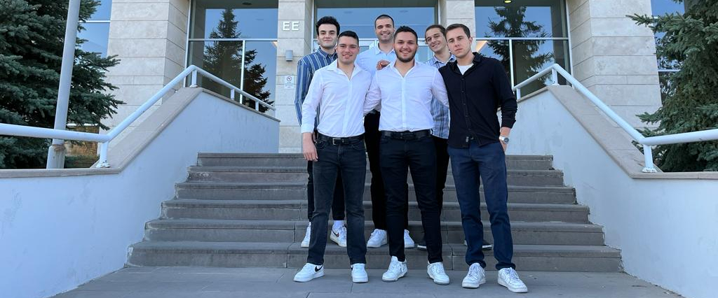
Takım Üyeleri
Enes Ağırman,
İsmail Hakan Aksu,
Mustafa Emin Çelik,
Kenan Demir,
Mustafa Ege Güner,
Mert Yazıcı

Özet
Bilkent Üniversitesi Elektrik ve Elektronik Mühendisliği Bölümü'nün Sanayi Odaklı
Mezuniyet Projesi, Plan-S Uydu ve Uzay Teknolojileri iş birliğiyle uydu görüntülerinden
gemilerin tespiti ve sınıflandırılmasına odaklanır. Eğitim için kullanılan veri seti, her biri
512x512 piksel boyutunda ve 10 metre yer örnekleme oranına sahip olan 5000 uydu
görüntüsünden oluşmaktadır. Bu, son gösterimde tutarlılık için kullanıcı girişlerinin yeniden
boyutlandırılmasını gerektirebilir. Kısacası, algoritma sadece 512x512 piksel boyutunda ve 10
metre yer örnekleme oranında girişlerle çalışır. Görüntü keskinleştirme, gürültü azaltma ve sis
giderme gibi işlemleri içeren özel bir ön işleme ağı, görüntü kalitesini artırır ve tespit
doğruluğunu güçlendirir. Açık deniz ve liman fotoğrafları da dahil olmak üzere çeşitli uydu
görüntülerinin doğası ele alınarak, proje bunları ön işleme öncesinde sınıflandırır ve
parametreleri buna göre optimize eder. Tespit için üç farklı bilgisayarlı görme algoritması
kullanılır: YOLO v8 Boundary Box, YOLO v8 Semantic Segmentation ve Mask RCNN.
Özellikle, tespit için YOLO v8 Boundary Box yöntemi %71.7 F1 puanı elde ederken, YOLO
v8 Semantic Segmentation yöntemi gemi tespiti için %80.3 başarı elde eder. Ayrıca, Mask
RCNN yönteminin devam eden iyileştirilmesi ve uygulanması, gemi tespiti ve sınıflandırma
doğruluğunda daha ileri gelişmeler vaat etmektedir. Tespit sonrasında, K-Means Kümeleme
gemileri büyük, orta ve küçük olmak üzere boyut kategorilerine ayırarak analiz ayrıntısını
artırır. Projenin son aşamasında, kullanıcılar fotoğraflarını yükleyebilecekleri bir kullanıcı
arayüzü geliştirilecek. Yükleme işleminden sonra, gerekli ön işleme teknikleri uygulanacak ve
kullanıcılara tespit edilen ve sınıflandırılan gemileri gösteren bir çıktı sunulacaktır.
Abstract
Bilkent University Department of Electrical and Electronics Engineering's industry-focused
graduation project, in collaboration with Plan-S Satellite and Space Technologies, focuses on
detecting and classifying ships from satellite imagery. The dataset used for training consists of
5000 satellite images, each standardised to 512x512 pixels with a ground sampling rate of 10
metres. This may require resizing the user inputs in the final demonstration for consistency. In
short, the algorithm only works with 512x512 pixel inputs with a ground sampling rate of 10
metres. Employing image sharpening, noise reduction, and haze removal, a tailored
preprocessing pipeline enhances image quality and bolsters detection accuracy. Addressing the
varied nature of satellite images, including open sea and harbour photos, the project categorizes
them before preprocessing, optimizing parameters accordingly. Detection employs three
distinct computer vision algorithms: YOLO v8 Boundary Box, YOLO v8 Semantic
Segmentation, and Mask RCNN. Notably, the YOLO v8 Boundary Box method for detection
achieves F1 score of 71.7%, while YOLO v8 Semantic Segmentation achieves 80.3% for ship
detection. Additionally, ongoing refinement and implementation of the Mask RCNN method
promise further advancements in ship detection and classification accuracy. Post-detection, KMeans Clustering classifies ships into size categories—large, medium, and small—enhancing
analysis granularity. In the final stage of the project, a user interface will be developed where
users can upload photos. Upon upload, the necessary preprocessing techniques will be applied,
and users will be presented with the output showing detected and classified ships.

