İKON
< Projeler Sayfası
Proje Adı
İHA Konumlandırma Sistemi
Şirket Adı
TÜBİTAK İLTAREN
Şirket Mentoru
Halil Kutay
Akademik Mentor
Prof. Ömer Morgül
Asistan
Ecem Şimşek
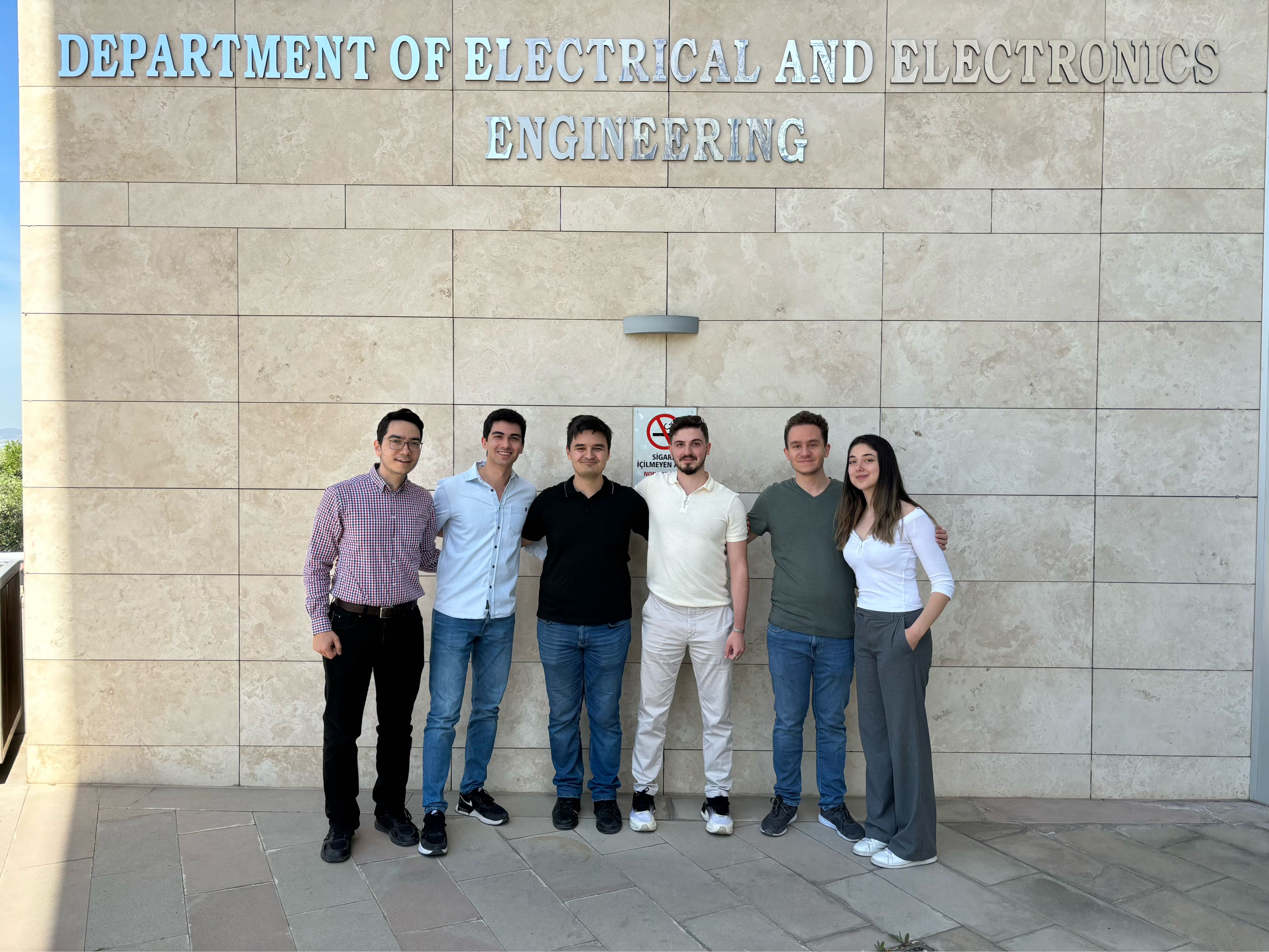
Takım Üyeleri
Kemal Enes Akyüz,
Baran Aşılıoğlu,
Mustafa Mert Çetin,
Deniz Emre,
Efe Mert Karagözlü,
Abdullah Şamil Namlı

Özet
Projemizde hedef, insansız bir hava aracı için Küresel Konumlama Sistemi’ne (GPS) alternatif olabilecek bir çözüm sunmaktır. Proje sonunda elde edeceğimiz konumlandırma sistemiyle donatılmış drone, önceden belirlenmiş bir test parkurunun 20 metre üzerinde birtakım kontrol noktalarından en fazla 5 metre sapacak şekilde otonom bir uçuş yapabilecektir. Projenin gerekliliği TÜBİTAK’ın yaşadığı bazı GPS hatası kaynaklı olaylarca fark edilmiş ve motivasyonu olası düşük GPS sinyali yahut GPS karıştırma senaryolarına karşı gürbüz bir sisteme sahip olmak olarak belirlenmiştir. Çözümümüz genişletilmiş Kalman filtresi tabanlı bir duyaç tümleştirmedir ve duyaç olarak standart optik akış duyacı ve atalet ölçüm ünitesine ek olarak kendi geliştirdiğimiz ve yer resimlerini tanımaya dayalı bir sanal duyaç bulunmaktadır. Şu ana dek başarılı bir simülasyon ve görüntü tanıma algoritmamızı çalıştırdığımız otonom olmayan bir uçuş gerçekleştirdik. Algoritmamız makul sıklıkla yarım metreden az hataya sahip konum tahminleri çıkarabildi.
Abstract
In our project, the aim is to equip an unmanned aerial vehicle with an alternative solution to GPS (Global Positioning System). The drone equipped with the final system has to be able to autonomously fly 20 meters above a pre-defined test track with at most 5 meters of deviation from certain checkpoints. The motivation is to achieve robustness against possible weak GPS signal strength and spoofing, for which the need has been identified by the company upon several incidents. We utilize a sensor fusion approach via extended Kalman filtering which comprises rather standard optical flow and inertial measurement sensors and a custom-made virtual sensor based on the recognition of the aerial images of the ground. So far, we have achieved a successful simulation of the system and a non-autonomous flight with the image recognition algorithm can reasonably frequently produce position estimates with errors less than 0.5 meters.

